satellite imaging allows scientists to observe ________. a. where deforestation has removed the trees b…
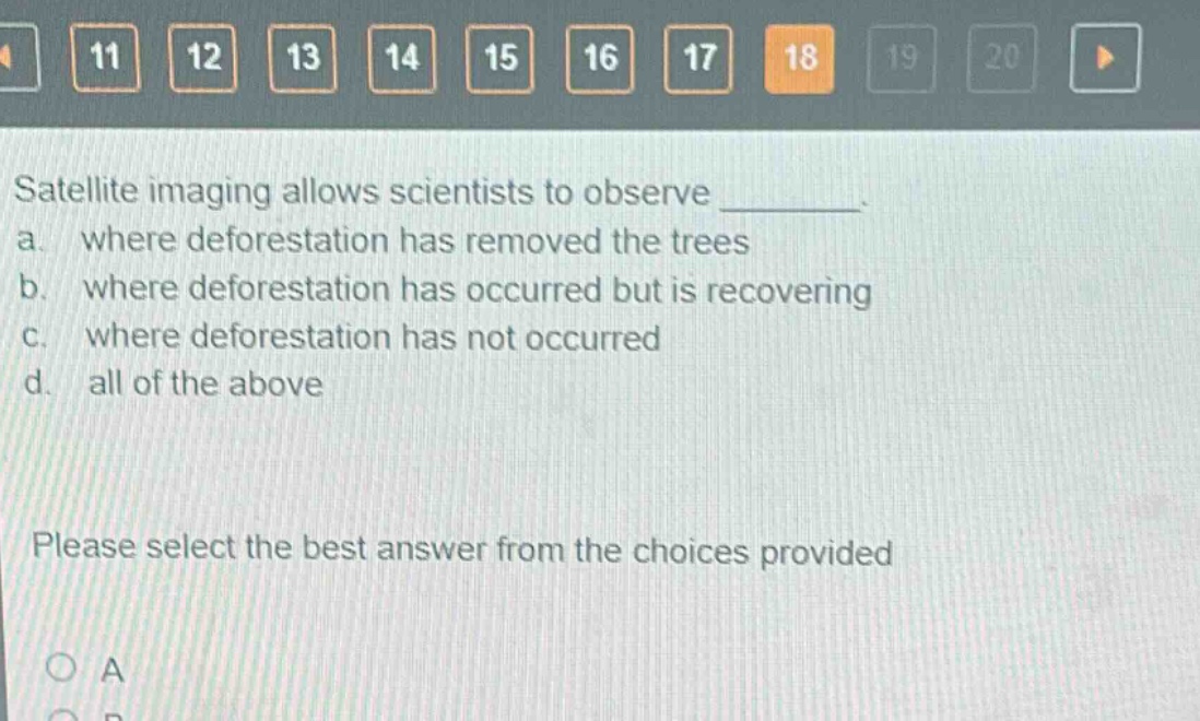
satellite imaging allows scientists to observe ________. a. where deforestation has removed the trees b. where deforestation has occurred but is recovering c. where deforestation has not occurred d. all of the above please select the best answer from the choices provided
Answer
Brief Explanations:
Satellite imaging can detect deforestation areas (where trees are removed), recovering deforestation areas, and areas without deforestation by analyzing land - cover changes over time using different spectral bands.
Answer:
D. all of the above