how is the elevation displayed on a topographic map?\ncontour lines\ncontour intervals\nindex…
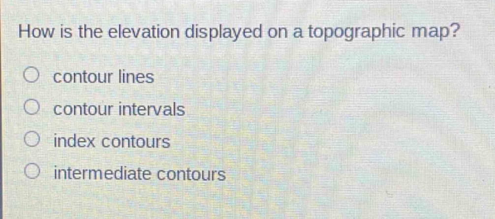
how is the elevation displayed on a topographic map?\ncontour lines\ncontour intervals\nindex contours\nintermediate contours
Answer
Brief Explanations:
Contour lines on a topographic map connect points of equal elevation, showing the shape and elevation of the land surface. Contour intervals are the vertical distance between contour lines, index contours are darker and labeled for easy - reading of major elevation changes, and intermediate contours are between index contours for more detail. But the main way elevation is shown is by contour lines.
Answer:
A. contour lines