why would an engineer most likely use topography maps in his or her work?\nto find an area used for…
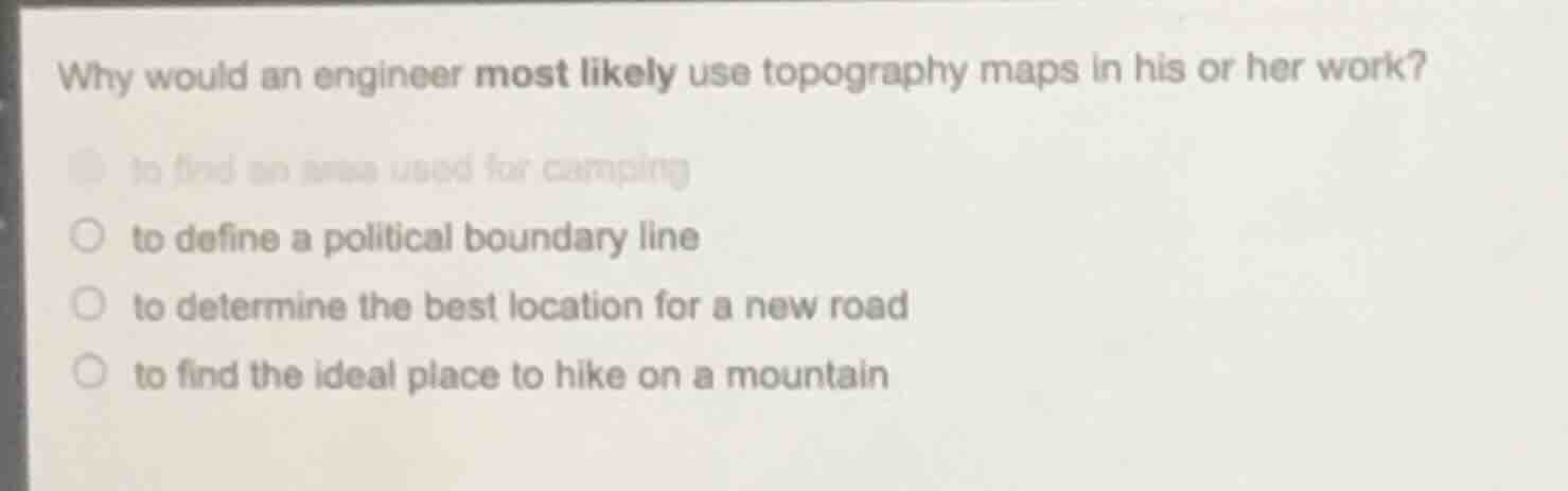
why would an engineer most likely use topography maps in his or her work?\nto find an area used for camping\nto define a political boundary line\nto determine the best location for a new road\nto find the ideal place to hike on a mountain
Answer
Brief Explanations:
Topography maps show elevation, terrain, and land features. Engineers rely on this data to plan infrastructure like roads, as they need to account for slopes, drainage, and terrain suitability. The other options relate to recreational or political uses, not core engineering work.
Answer:
to determine the best location for a new road