how do geologists determine the location of an earthquakes epicenter?\nby measuring the magnitude of the…
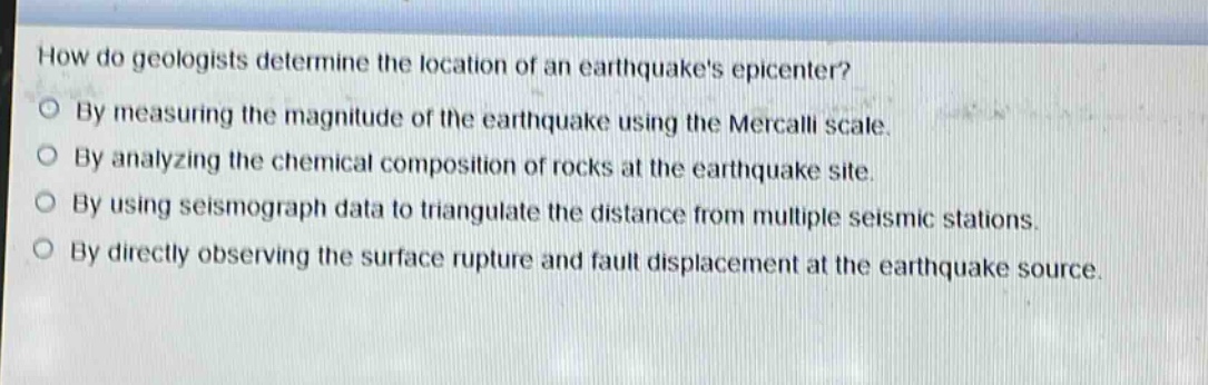
how do geologists determine the location of an earthquakes epicenter?\nby measuring the magnitude of the earthquake using the mercalli scale.\nby analyzing the chemical composition of rocks at the earthquake site.\nby using seismograph data to triangulate the distance from multiple seismic stations.\nby directly observing the surface rupture and fault displacement at the earthquake source.
Answer
Brief Explanations:
Geologists use seismograph data from multiple seismic stations. They measure the time - difference of arrival of different seismic waves to triangulate the distance from each station to the epicenter, which helps in determining the epicenter's location. Measuring magnitude with the Mercalli scale is for intensity, analyzing rock composition is not for epicenter location, and direct observation of surface rupture is not the main method for pinpointing the epicenter.
Answer:
By using seismograph data to triangulate the distance from multiple seismic stations.