what does the line at 13600 represent?\nscale bar\nindex contour\nelevation difference\ntopographic symbol
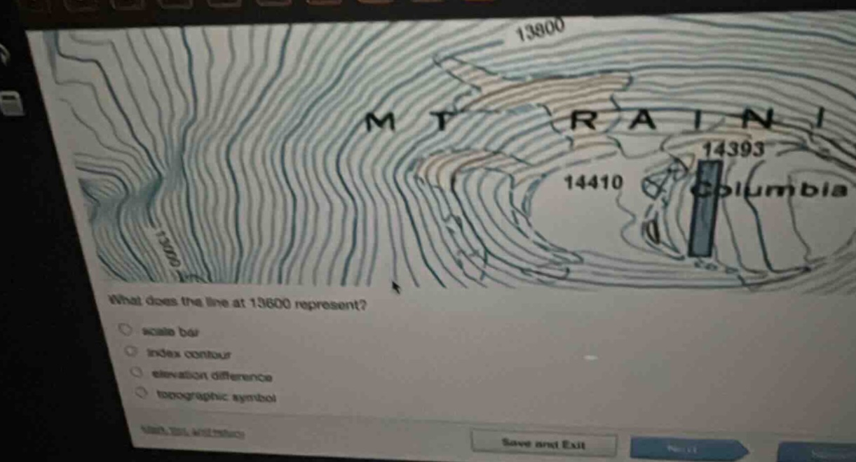
what does the line at 13600 represent?\nscale bar\nindex contour\nelevation difference\ntopographic symbol
Answer
Brief Explanations:
In a topographic map, index contours are bold - faced contour lines that are labeled with their elevation values. The line at 13600 is labeled with an elevation value, which is characteristic of an index contour. A scale bar is used to measure distances on the map, elevation difference refers to the change in elevation between two points, and a topographic symbol represents features like buildings, roads etc.
Answer:
index contour