in order to determine the distance between two cities on a map, which map feature would a student have to…
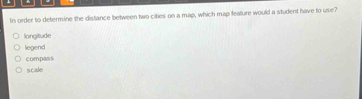
in order to determine the distance between two cities on a map, which map feature would a student have to use?\nlongitude\nlegend\ncompass\nscale
Answer
Brief Explanations:
The scale on a map shows the relationship between distances on the map and the corresponding distances on the Earth's surface. Longitude gives east - west position, legend explains symbols, and compass shows direction. Only scale helps in determining distance.
Answer:
D. scale