why would satellite imagery be more useful than a map in some instances?provides landmarks, such as…
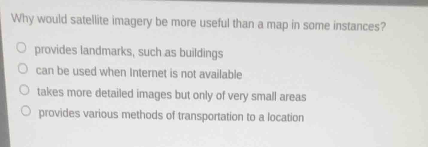
why would satellite imagery be more useful than a map in some instances?provides landmarks, such as buildingscan be used when internet is not availabletakes more detailed images but only of very small areasprovides various methods of transportation to a location
Answer
Brief Explanations:
Satellite imagery captures real-time, visual details of physical features like buildings that standard maps may not display with the same level of current, visual specificity. The other options are incorrect: maps can be used offline too, satellite imagery can cover large areas, and transportation guidance is a feature of mapping tools, not satellite imagery itself.
Answer:
provides landmarks, such as buildings