which statements concerning how geologists locate an earthquakes epicenter are accurate? check all that…
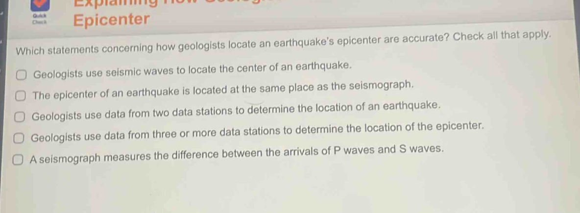
which statements concerning how geologists locate an earthquakes epicenter are accurate? check all that apply. geologists use seismic waves to locate the center of an earthquake. the epicenter of an earthquake is located at the same place as the seismograph. geologists use data from two data stations to determine the location of an earthquake. geologists use data from three or more data stations to determine the location of the epicenter. a seismograph measures the difference between the arrivals of p waves and s waves.
Answer
Answer:
- Geologists use seismic waves to locate the center of an earthquake.
- Geologists use data from three or more data stations to determine the location of the epicenter.
- A seismograph measures the difference between the arrivals of P waves and S waves.
Brief Explanations:
Seismic waves are key for earthquake - location. Three or more stations are needed for accurate epicenter location via triangulation. Seismographs measure P - S wave arrival time differences for distance calculations.