which strategy do geologists use to locate the center of an earthquake? they only analyze local data. they…
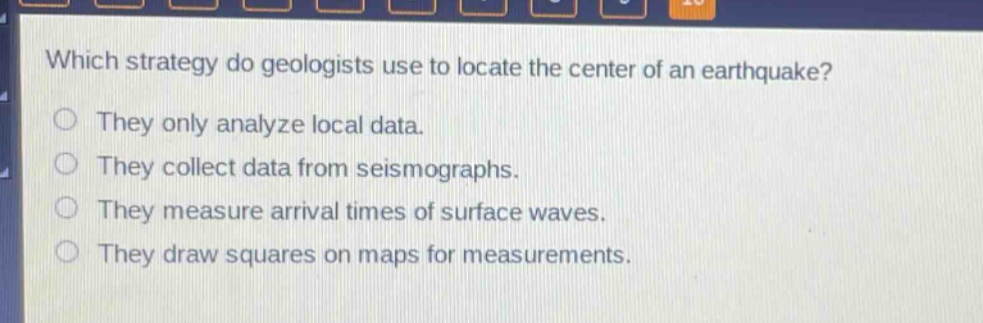
which strategy do geologists use to locate the center of an earthquake? they only analyze local data. they collect data from seismographs. they measure arrival times of surface waves. they draw squares on maps for measurements.
Answer
Brief Explanations:
Geologists use data from seismographs to locate the epicenter of an earthquake. Seismographs record seismic waves, and by analyzing the arrival - times of these waves at different stations, the epicenter can be triangulated. Analyzing only local data is insufficient, measuring arrival times of surface waves alone is not the main method, and drawing squares on maps is not a relevant technique for this purpose.
Answer:
They collect data from seismographs.